How new Michigan House maps uncouple Detroit, suburbs to boost Black voters

- The percentage of Black voters in five metro Detroit will jump substantially under new maps approved this week
- Three districts that had combined northern suburbs and parts of Detroit will now be contained in Oakland and Macomb counties
- The Michigan Independent Citizens Redistricting Commission commission will next focus on redrawing state Senate districts
Two years after they won election, 14 metro Detroit state representatives will face significantly different sets of voters if they run again this fall because of new maps approved this week by a federal court.
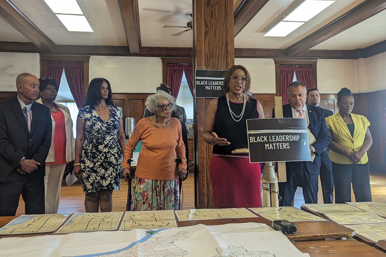
In response to Black voters who challenged existing maps, which they said diluted their electoral power, a three-judge panel accepted new boundaries that push three districts entirely into the Detroit suburbs while substantially raising the Black voter percentage in five others.
Related:
- Michigan redistricting: Court finds new Detroit maps better for Black voters
- Trial to weigh if Michigan legislative maps discriminate against Black voters
- Michigan redistricting: Mapmakers finalize new metro Detroit House map
The new maps will give Black voters in Detroit a greater chance to elect candidates of their choosing, with less suburban influence, which may in turn increase Black representation in Lansing.
Consider:
- Under the maps used to elect State Rep. Natalie Price, D-Berkley, in 2022, the 5th District is currently 58.9% Black and stretches from Detroit to Bloomfield Township and includes parts of Birmingham. The new 5th will include parts of Detroit, Oak Park and Royal Oak Township and will be 81.1% Black.
- The 4th District on the west side of Detroit will go from 54% Black to 89% and the white population will fall from 44% to 4%.
- The 8th District will go from 48% Black to 67% Black. State Rep. Mike McFall, D-Hazel Park, won in 2022 after first winning a crowded Democratic primary with 37.8% of the vote.
- The 6th, 13th and 14th districts, each of which had included parts of Detroit, will now be entirely in the suburbs of Oakland and Macomb counties.
The new maps should have little impact on the partisan breakdown of the Legislature — they still lean Democratic — but the region could elect more Black representatives; there are six now.
“We applaud the citizen redistricting commission for passing new maps that enable voters of color to elect their candidates of choice,” said Quentin Turner, executive director of Common Cause Michigan, in a statement. “This is a victory for fair maps and fair representation.”
The Michigan Independent Citizens Redistricting Commission created the maps after voters in 2018 agreed to a ballot initiative calling for an independent group to draw legislative boundaries.
But those efforts rankled some Black voters, who argued the commission unfairly balanced districts in violation of the U.S. Constitution. Judges agreed in December, saying the commission erred by drawing state legislative districts “on the basis of race," and denied Black voters proper representation.
In a little over two months, the commission considered numerous alternatives before agreeing upon the maps that gained the court’s approval this week.
Overall, the boundaries of 16 districts were changed. One, the 16th District in Detroit, Redford Township and Livonia, saw only modest changes.
But other modifications were more sweeping, with the shape of the districts changing to become more compact and contain larger portions of communities.
In the current 5th and 6th districts, for instance, parts of the districts were less than a mile wide as they snaked north from Detroit to Birmingham.The small city of Berkely was cut in half and Royal Oak was in three districts.
Now, Berkley will be entirely in the 6th District and Royal Oak will be in just the 6th and the 56th.
Most of the court’s focus was on the impact the current districts had on Black voters. The existing maps have just one district with more than 60% Black population — the 9th (62%). That district’s Black population will increase to 69% while four other districts will all exceed 67%: the 11th (67%), 8th (69%), 5th (81%) and 4th (89%).
Next up are the state’s Senate boundaries, which the court also ruled were improperly drawn. Since Senators serve four-year terms, the court ruled those changes will need to be in place for the 2026 election.
Before last year’s elections, there were 15 Black lawmakers in the state House and five in the state Senate. After the 2022 election that used the new maps, those numbers fell to 14 in the House and three in the Senate.
— Lauren Gibbons contributed
See what new members are saying about why they donated to Bridge Michigan:
- “In order for this information to be accurate and unbiased it must be underwritten by its readers, not by special interests.” - Larry S.
- “Not many other media sources report on the topics Bridge does.” - Susan B.
- “Your journalism is outstanding and rare these days.” - Mark S.
If you want to ensure the future of nonpartisan, nonprofit Michigan journalism, please become a member today. You, too, will be asked why you donated and maybe we'll feature your quote next time!


